Populating geographic coordinate lookup values
If a field has the geographic_point_lookup attribute set to ‘yes’ in the config.xml file, field values can be mapped to GPS coordinates to facilitate mapping.
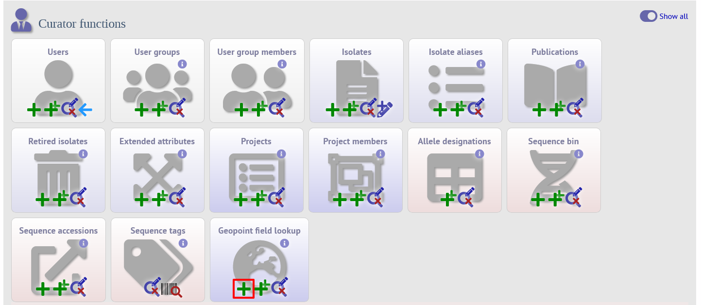
If the user has curator privileges with the ‘modify_geopoints’ permission set, or is an admin, a curator link to modify ‘Geopoint field lookup’ will be available in the curator interface. This link is normally hidden but can be shown by selecting the ‘All functions’ toggle.
To add a value, click the ‘Add’ link:
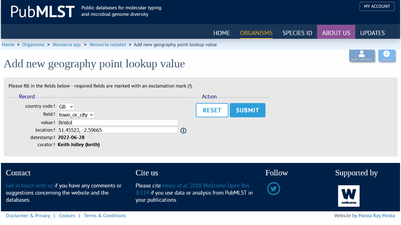
Select the 2 letter ISO country code and the linked field from the dropdown lists. Enter the town or city in the value field, and the GPS coordinates in LATITUDE, LONGITUDE format.
Now, whenever that specified field value is used, a map will appear in the isolate information page showing the location. In addition, these values will be used in mapping in the Field Breakdown and Microreact plugins.
GPS coordinates can be mapped in bulk using the gp_town_lookups.pl script.